


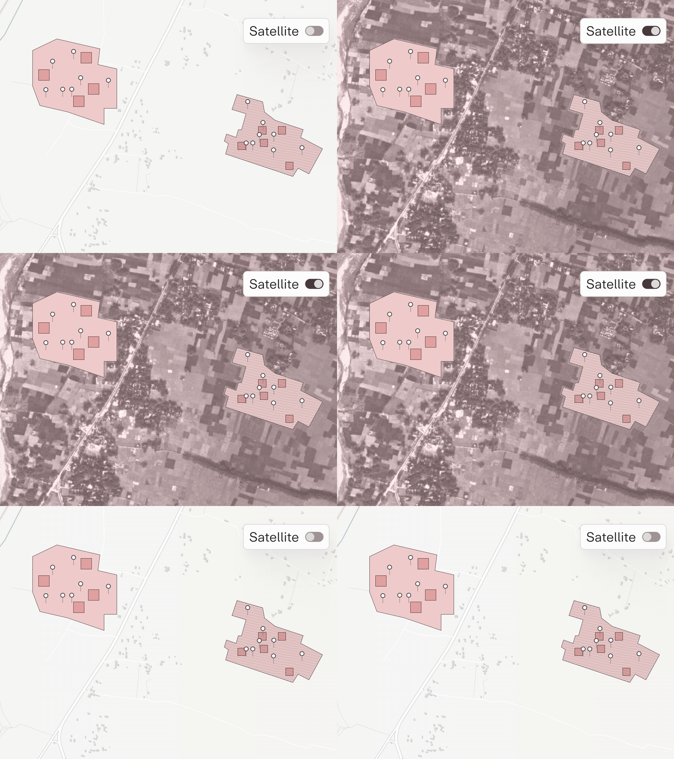
Suppliers and verifiers can now switch the map view for Enhanced Weathering projects to satellite imagery in Certify. The satellite layer shows actual terrain, including fields, rivers, and forests, alongside the existing standard map. This makes it easier to see the real-world context of a project's application sites when reviewing spatial data.
